Airwork
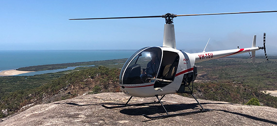
Survey
Accurate tracking, constant height and speed during contouring and smooth operation of the helicopter whilst flying the lines is essential to obtaining good data for the clients.
Ideal for mitigating Time constraints and Budgets as a 6month job can be completed in a matter of weeks. Minimise overheads with less vehicles, equipment and staff. Maximise Tender acquisition by halving completion times and budget.
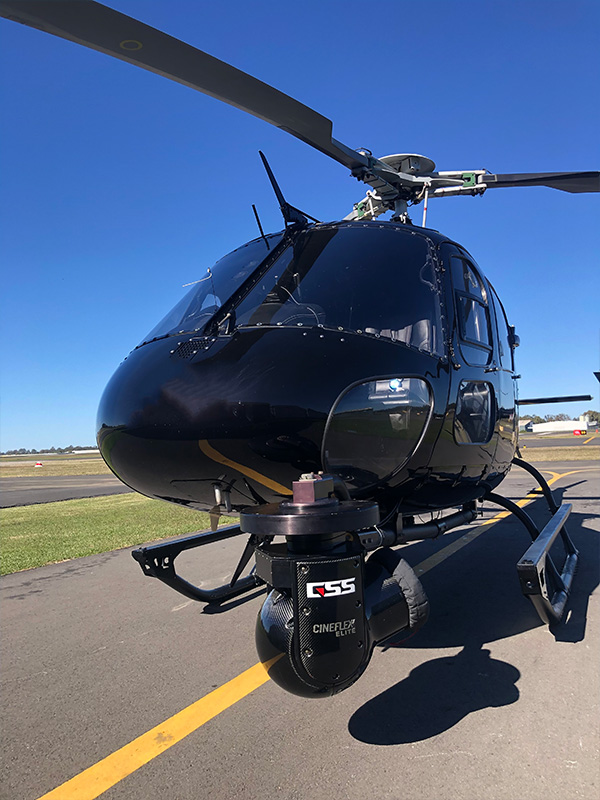
Our experience as geophysical survey pilots, with the V-Tem and Afmag systems, guarantee that there is minimal re-flights due to poor data or broken equipment and in turn, leads to higher profit margins for the client and accurate assessment for the mining company. The Chief pilot has flown thousands of line kilometres in remote Canada and the Yukon.
We have the capacity to operate several types of aircraft, including the Bell 407, AS350 and the Bell 204 and can make these available for large contracts
Capability
Ideal for mitigating Time constraints and Budgets as a 6month job can be completed in a matter of weeks. Minimise overheads with less vehicles, equipment and staff. Maximise Tender acquisition by halving completion times and budget.
Location: Whole of Australia
- Remote Stake-out, Boundaries, Land Survey, Erosion, Hydro, Water sampling, Geographical, Maritime, Cadastral, Environmental fauna and flora,
- Project reporting, Site investigation, Urgent parts acquisition, Staff logistics during wet weather events.
- Up to 3hrs run time
- Ideal team of 3 but max team of 5.
Equipment
- Sling- 910kg max
- 50,100,300ft long lines
In Partnership With